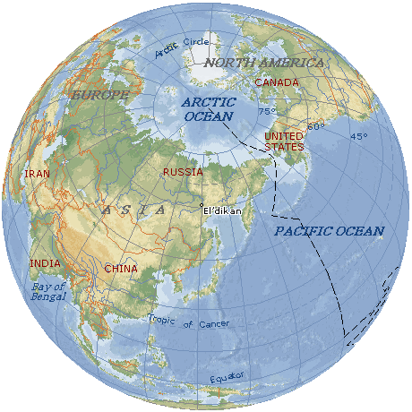
Eldikan
|


Population
Eldikan is the second most populous settlement in the Ust-Maisky ulus.
1,035 people (January 1, 2023). In the census of 1970 the population was 3,353 people.
History
The settlement was founded in 1939, it was built in 1941 as a river pier. It was classified as a workers settlement in 1948.
From 1948 to 1953, Eldikan was the administrative center of the industrial Allah-Yun region of the Yakut Autonomous Soviet Socialist Republic.
Economy and culture
In settlement – river quay, motor transportation management, mechanical service workshops. There is a community centre, a high school, government offices of public health, trade and communal services.
Connection with an external world
The postal code (index) – 678623
Telephone code – +7 41141 xxxxx
Administrative-territorial structure
8-th KM – rural settlement in the territory subordinated to administration of Eldikan of the Ust-Maisky ulus. It is located on the east bank of the river Aldan, 56 km to the northeast of the ulus centre of Ust-Maya, distance to Eldikan is 8 km. It was established in 1941. According to the data of local administration for January 1, 2001 here lived 15 people. Currently, the village is without people. Previously, there was an operational-maintenance section of the river shipping company, government offices of public health services and trade.
| Our Eldikan © 2003-2026 Sergei Zhomir | |